
The black did not stand out well against the heterogeneous background so curious, I tried colouring the roads, which are thick black lines, yellow or red instead. The roads form a bisected rectangle and it is sprinkled with permanent markers that allow everyone to orientate themselves - I try to convey a sense of geography during the walks as it then allows everyone to tie together the various elements of biology, history and military action.
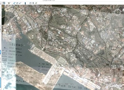
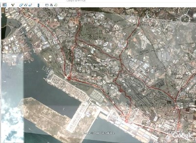
Adjusting the contrast of the image brought out the roads the best. We should link the layer to a transparent file whose roads and battle fronts are brightly coloured. Next time perhaps.
Meanwhile, at least this highlights the rectangle I'm talking about. For my next talk.
First posted at Otterman speaks, 14 Jul 2007.
No comments:
Post a Comment